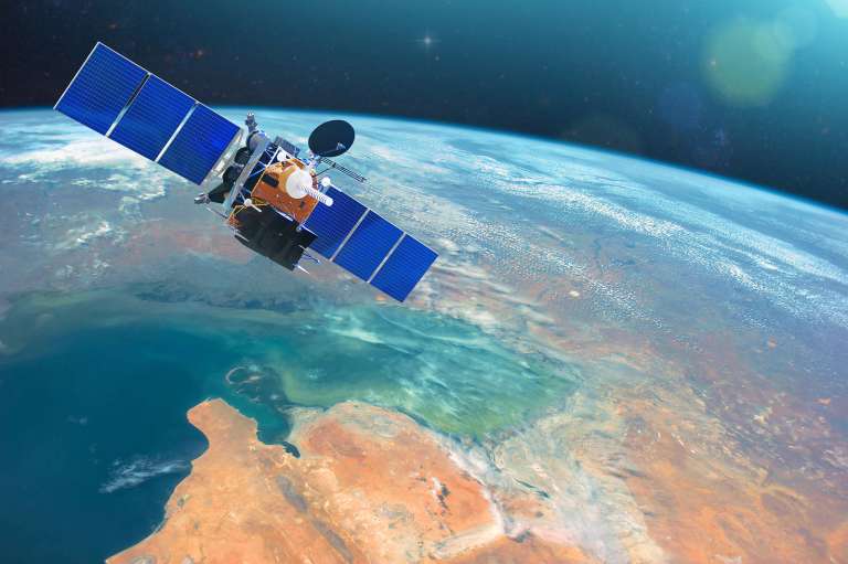
An online graduate certificate in geospatial intelligence prepares students for careers in a wide range of industries, including humanitarian, military, national disaster response and management, and more. Within the intelligence community, geospatial intelligence is described as analyzing and using geospatial information to assess geographical activities on Earth. While new technologies allow professionals to do so much more, geospatial intelligence was once instrumental in helping to resolve the Cuban Missile Crisis.
What Are the Online Geospatial Intelligence Graduate Certificate Requirements?
It isn't necessary for applicants to the geospatial intelligence graduate certificate program to have jobs in the GEOINT field prior to enrolling, though it is certainly an attractive choice for professionals working in the industry. It is often better to have completed a degree in a related field or have work experience within the industry before entering this particular certification program.
Students who complete at least three courses in the graduate certificate program for geospatial intelligence with a GPA of 3.67 or higher may enter the MGIS program through the Penn State World Campus without the usual requirements of a GRE test, experience in the field, and letters of recommendation.
What Type of Classes Are Included in the Online Geospatial Intelligence Graduate Certificate Curriculum?
In order to obtain an online graduate certificate in geospatial intelligence, students must complete certain core and elective coursework. While the coursework is different from one university to the next, they all involve similar classes. Around 18-22 credits are typically needed.
Core courses may include:
- Introductions to Remote Sensing
- Introduction to GIS
- Earth Image Processing
- Selected Topics in Geospatial Intelligence
- Capstone Course in Geoinformatics
Electives may include:
- Advanced Geographic Information Systems
- Spatial Agent-based Models of Human-Environment Interactions
- Terrain Mapping
- Introduction to GIS Algorithms and Programming
- Spatial Data Structures
- Algorithms and Modeling in GIS
What Type of Career Can I Pursue with an Online Geospatial Intelligence Graduate Certificate?
Students who complete their online graduate certificate program are qualified for careers in a variety of fields including work for various agencies. Many career opportunities await you with a graduate certificate in geospatial intelligence such as the following:
- Analyst for the National Geospatial Intelligence Agency (NGA)
- Analyst for the Central Intelligence Agency (CIA)
- Various private sector positions
- Intelligence Image Analyst
- Remote Sensing Technician
- Analyst for the Federal Emergency Management Agency
- Geospatial Intelligence Analyst
You can be instrumental in the policy-making process, in responding to emergencies and pandemics, and contribute intelligence for critical military actions.
Geospatial Intelligence Graduate Certificate Programs List
Interested in a geospatial intelligence graduate certificate program? Check out our listings below to find a traditional, online, or hybrid program near you.
| School | Location | Details |
|---|
| , | Hybrid - Geospatial Intelligence |
California
Georgia
North Carolina
New Hampshire
New York
Oklahoma
Pennsylvania
South Carolina
Tennessee
Texas
Virginia
Do we need to add to or update any of the information listed? Please contact us so we can keep our site updated.
Other Related Certificate Programs
